When deciding whether it's worth it (or not) to climb a particular mountain, you consider two very important factors:
the look of the trail and the view from the summit. If both factors get a thumbs up, that should suffice as your go signal. That's when you start stuffing your bags with your hiking gear. I mention this because
Mt. Tabayoc in Kabayan, Benguet passes the test with flying colors.
I had the privilege of climbing the mountain in the company of friends during a two-day trip into the heart of Kabayan. The trail to the top is every nature-lover's dream. There's lush vegetation wherever your eye goes. Thick green moss covers the branches of trees. Tree roots of all sizes lie entangled on the forest floor. One misstep and you'll be sent sprawling among the dead leaves, lonely twigs, and excited worms. There are birds chirping everywhere albeit you rarely see them.
And there's a reason why a huge portion of the trail leading to the peak has been dubbed the "
Monkey Trail". Like a long-tailed primate, you need to swing on branches, duck under tree trunks, climb over rock boulders, and hang on to vines as you move forward. This, in my opinion, is the reason why Mt. Tabayoc may have the best hiking trail in the Cordillera region. Unlike other trails wherein all you need to do is walk, the Mt. Tabayoc trail challenges you to become Tarzan even for just a few hours.
The summit of Mt. Tabayoc is in itself a marvel. It's beautiful. That is if you happen to reach it without the thick fog enveloping it. Unlike other popular mountains in Benguet like
Mt. Ulap and
Mt. Pulag wherein the summits are barren and covered by grass, the summit of Mt. Tabayoc is thickly forested. There's no clearing. Of course, the trees are stunted as you would expect in such high altitudes. Mt. Tabayoc, after all, is the second highest mountain in Luzon.
The view from the summit is worth the arduous trek. Since the summit is thickly forested, you need to climb beyond the forest canopy to be able to see what's around you. For this reason, an artificial structure has been built a few feet above the canopy. This wooden platform serves as a view deck. Our only gripe with the deck is that it's creaky and in gross disrepair. It looks like it would give way any second. In fact, one of our companions nearly fell through the deck when a wooden branch which is part of the deck's floor broke in half.
We started the trek up Mt. Tabayoc at dawn (2:30 AM) with the hope of catching the sunrise at the summit. We reached the top earlier than expected so we have to wait for at least 30 minutes before we were rewarded with a fiery sunrise scene. Judea, our 17-year-old guide said that a "sea of clouds" is also quite common there but we didn't witness one that day. Maybe some other time.
Exploring The Mystical Lakes Of Kabayan
The day before we climbed Mt. Tabayoc, we explored the surrounding mountains and lakes. The first one is Lake Tabeo (sometimes spelled Tabeyo) whose shore also happens to be the only designated camping site in the area. The ranger station is also located beside the lake. This is where you register, get a guide, and go through an orientation before climbing and exploring the region. After registering and going through the orientation, we set up our tents just beside the lake. There are also designated places at the camping site where you can build fires.
The three other lakes are Latep-Ngapos, Incolos, and Ambulalakao. To get from one lake to another, you have to hike through more mossy forests with roots-entangled floors. The lakes, especially Latep-Ngapos and Ambulalakao, are quite something to behold. Tree branches heavy with lush, green leaves idly hang over the calm and glassy waters that mirror the clouds and sky above.
But the most mysterious of all is Lake Incolos. When you reach it, you'd think that it's just a grassy clearing. You'd think you are looking at and standing on solid ground. But you're not. Underneath your feet are tons of collected freshwater. You can feel the water swell underneath when you walk or jump over the lake. This is why trekkers are prohibited from walking towards the center of the clearing.
Some Quick Notes
1. Before heading to Mt. Tabayoc, we also climbed Mt. Timbak which lies in the borders between Atok and Kabayan. The hike to Mt. Timbak is underwhelming at best but the view was also magnificent.
2. All of the three other lakes are easily accessible from the campsite in Lake Tabeo in Ballay.
3. While hiking in between the lakes, we also passed through Junior Pulag, a small mountain that shares a few characteristics with the real Mt. Pulag.
4. On our way home to Baguio City, we made a sidetrip to the Opdas Burial Cave in Poblacion, Kabayan. The cave houses dozens of skulls and various bones. It's located within a private property so I assumed that the ones who collected 20 pesos (each) from us are the owners/caretakers.
5. And on our final leg back to Baguio City, we stopped by the Badekbek Sulfur Springs in the nearby town of Bokod. Suffice it to say that the boiling mass of sulfur, mud, and water is a geological marvel. At least for us, who are clueless about how such springs work.
And here our photos from the trip:
 |
| At the elevated wooden view deck on the summit of Mt. Tabayoc. |
 |
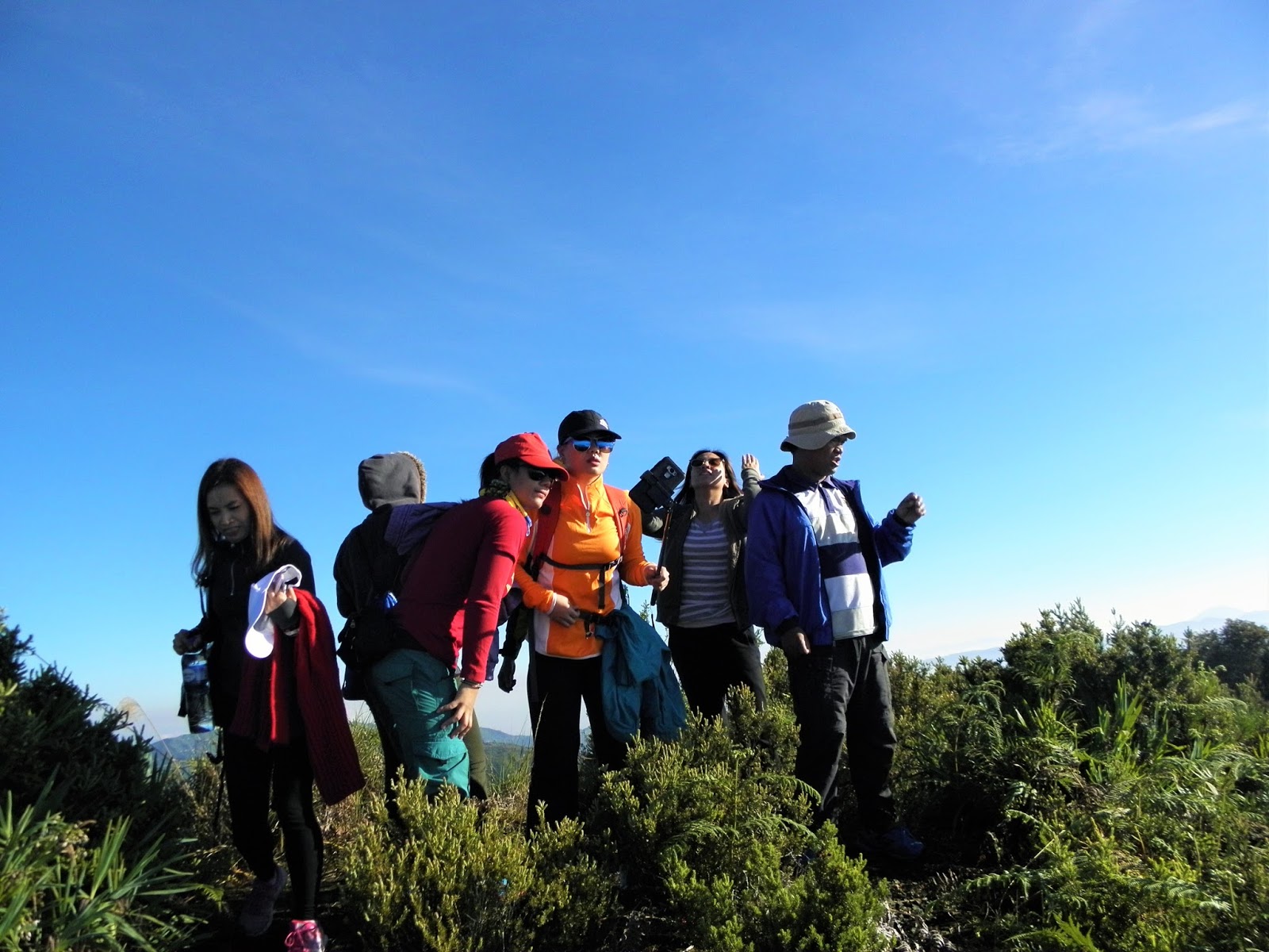
| The summit induces shivering cold. So wear gloves, scarves, and bonnets. |
 |
| Waiting for the sun to make its grand entrance. |
 |
| The sun finally popped out from the horizon as seen from the top of Mt. Tabayoc. It was short-lived though as it was quickly covered by the rising clouds. |
 |
| More mystical mountains on the horizon. |
 |
| Goofing around at the campsite in Lake Tabeo. This was the day before the hike up Mt. Tabayoc. |
 |
| The start of the hike early at dawn through thick vegetation. |
 |
| Moss, moss, moss, everywhere. |
 |
| At the start of the trail that leads to Junior Pulag and the lakes. |
 |
| Still climbing, nearly two hours in. |
 |
| A momentary downward slope in the trail between the first and second peak of Mt. Tabayoc. |
 |
| Big tree trunk on the path. Duck under or go over. The choice is yours to make. |
 |
| Passing through a tree bridge. |
 |
| It's called the Monkey Trail. So you have to swing if you have to. |
 |
| On the summit of Mt. Timbak on the borders of Atok and Kabayan. |
 |
| Plants growing on trees. |
 |
| Tree branches covered in moss hanging over the trail. |
 |
| The view from atop Junior Pulag. |
 |
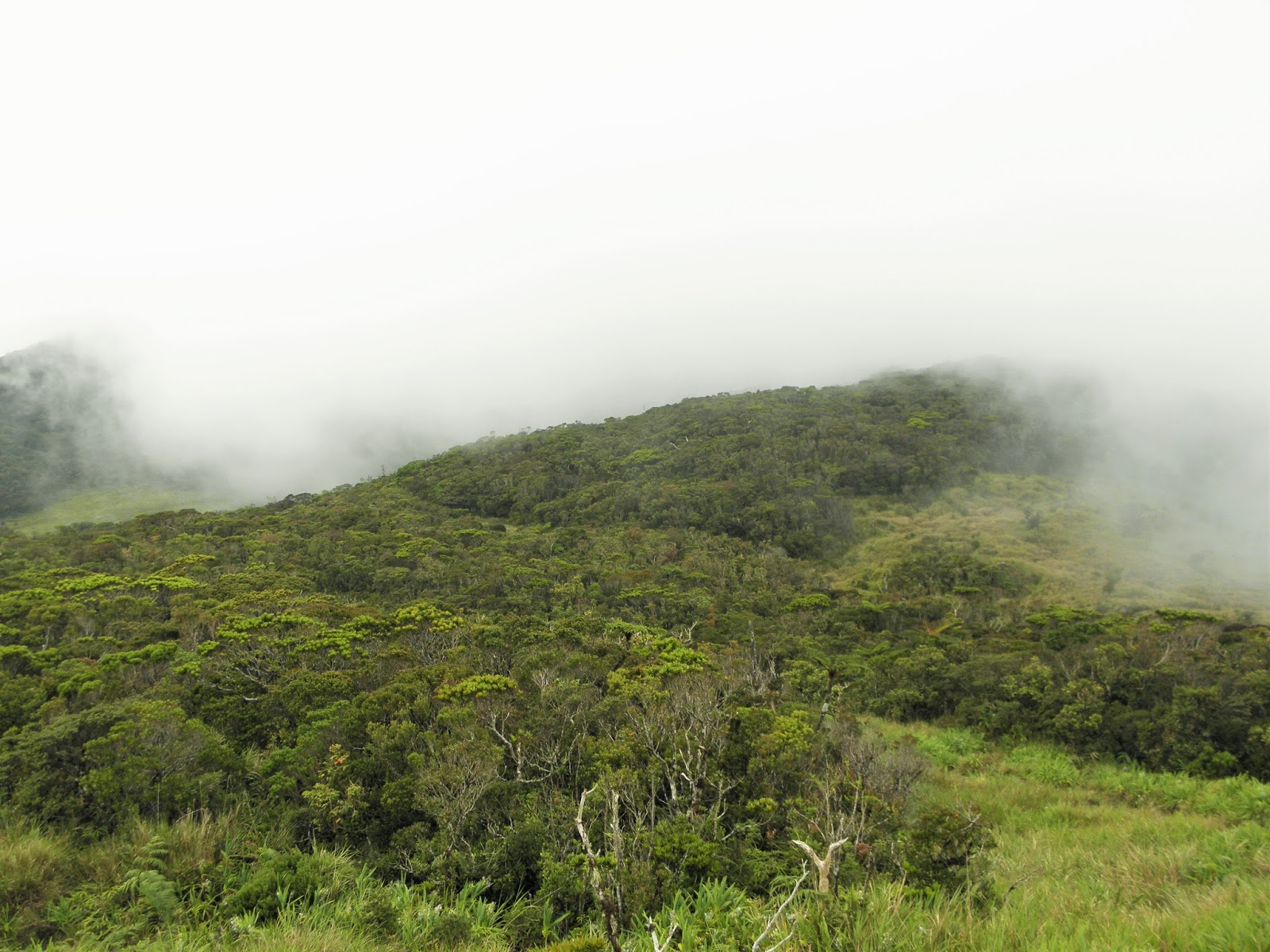
| More lush forest canopies. |
 |
| Lake Incolos can be seen from the distance partly covered by the rolling clouds. |
 |
| All the mountains, hills, and lakes in Kabayan are still part of the Pulag Forest Reservation. |
 |
| This isn't 100% dry ground. Underneath is Lake Incolos. |
 |
| Trees hanging over the waters of Lake Latep-Ngapos. |
 |
| The clear waters of Lake Ambulalakao. |
 |
| Lake Latep-Ngapos. |
 |
| Enjoying the view on Junior Pulag. |
 |
| Leaving Junior Pulag behind. |
 |
| On the way to Lake Incolos. |
 |
| Probably the most photographed part of Lake Latep-Ngapos. |
 |
| Low-lying clouds and mist rolling over Lake Latep-Ngapos. |
 |
| At the summit of Junior Pulag. |
 |
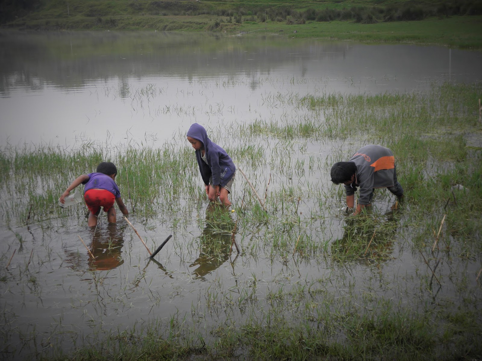
| Local kids fishing for mudfish on Lake Tabeo. |
 |
| Our awesome guide, Judea, who is just seventeen years old. |